This essay was written as part of a scholarship application, under the British Columbia Institute of Technology and ESRI Canada.
An Introduction
From my point of view, Geographic Information Systems are the ideal multi-disciplinary environment. A perfect combination of the skilful use of colours and shapes to communicate effectively, with the technical rigour of spatial and numerical analysis, all driven by advanced computer and information systems. This has enabled GIS users to provide guidance and value across an array of fields and industries, enhancing our decision-making and operational efficiency in engineering, city planning, business and marketing, public safety, and emergency management, among others. With such versatility, applicability, and impact, encapsulating the importance of GIS in general terms can be challenging. Thus, I will focus here on a specific application of GIS. This essay will delve into my personal connection to GIS, its value in hydrology, flood mapping, and emergency management, and my goals as a future GIS professional.
The Beginning
Although I had been utilizing various forms of GIS since I was young, I was not aware of the field until the subsequent years of my degree in civil engineering. I began with Google Earth and Maps, various web mapping platforms, and finally, ArcMap during a course in hydrology and hydraulics. Unfortunately, it was a short introduction and not much was learned. This changed dramatically in 2019, when my role in the Canadian Army Reserve offered me a deeper dive into GIS's potential. The training and experiences I received introduced the vast applications of GIS and also sparked a profound interest in its impact on both military operations and civil engineering projects. The course I was sent on introduced the basic concepts of cartography and GIS, with a primary focus on producing hard-copy maps using ArcMap. Additionally, I received on-the-job training from a mentor, who taught me much of what I know and use today.
The skills and knowledge I acquired were tested with the challenges posed by the onset of the pandemic in 2020; in a small team led by my mentor, we provided mapping products and guidance to the command team that oversaw the Canadian Army’s pandemic assistance efforts in Ontario. This time period was pivotal in my decision to pursue a career in GIS, witnessing firsthand the ability to address complex problems and provide critical insights. Our team utilized the entire toolkit available, including ArcGIS Pro, Dashboards, and Web App Builder, alongside Python scripts for web scraping, to collate information and assist with briefings.
Unfortunately, much like Web App Builder, most of the work we did is offline or deleted since the end of the pandemic.
The Discovery
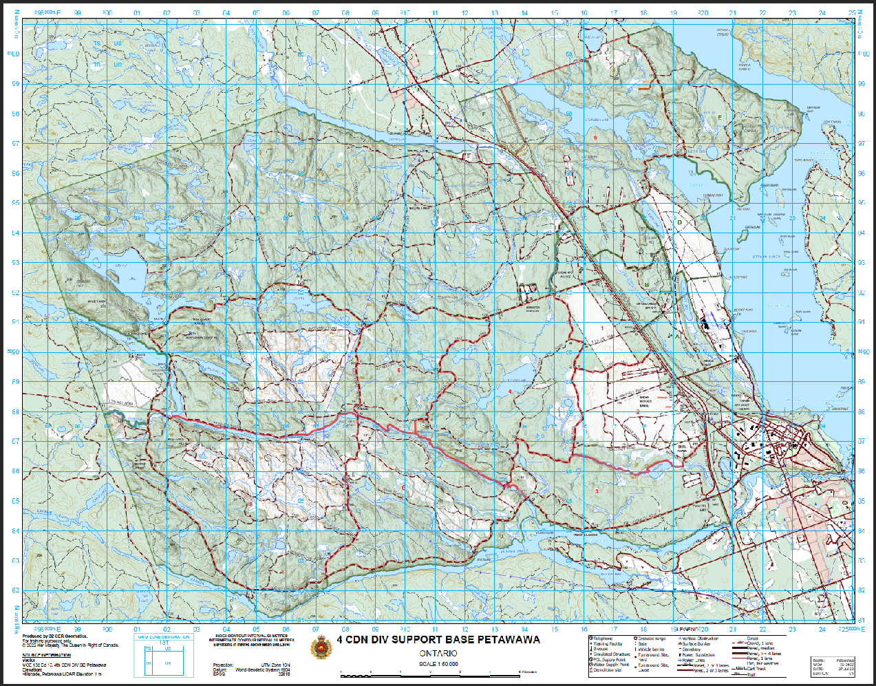
As my career in the Canadian Army Reserve continued, I had more opportunities to hone my skills. With the intensifying effects of climate change, the Canadian Forces are increasingly called upon to assist Canadians during natural disasters, including my participation in the 2019 flood relief efforts along the Ottawa River. To answer this call, the Army Reserve organizes biannual exercises, where command teams and soldiers practice planning and deploying a disaster relief team. As part of the geomatics team for these exercises, I would create and provide hard-copy maps of affected areas, conduct rudimentary hydrologic analysis, and assist commanders in planning camp sites and evacuation routes, among others. High resolution elevation data played a key role in the insights and analysis that I could offer during these exercises.
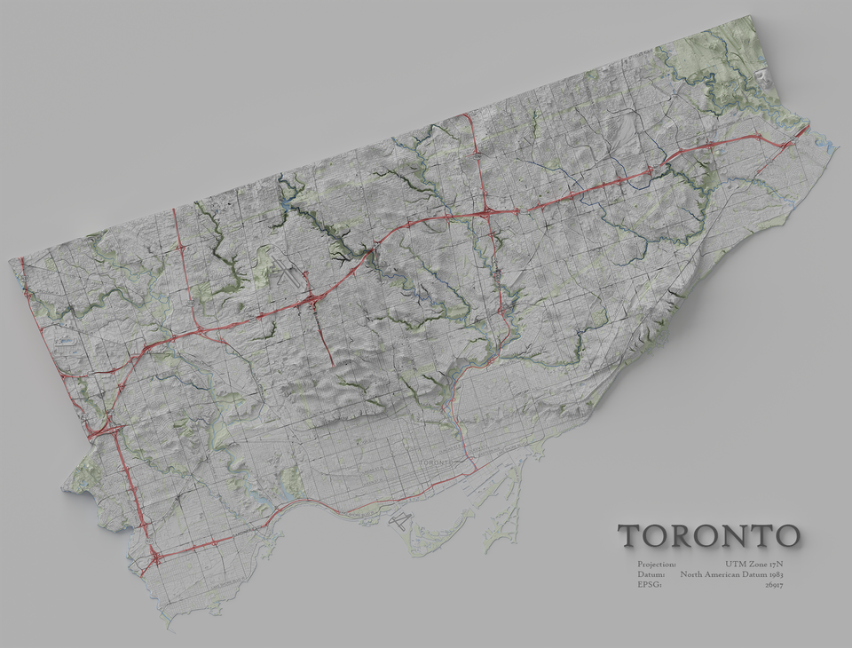
I once again was able to utilize GIS in my studies during a course on Water Resources Engineering. Topics included floodplain mapping, and hydrologic and hydraulic modelling. The term project involved modelling an entire watershed, calculating the flow from various design storms, and mapping the extent of flooding for a channel at the outlet. The watershed was delineated using a web-based GIS application. I was able to utilize ModelBuilder in ArcGIS Pro to improve the soil and land use parameters used in calculating runoff. The river channel near was modelled and I created a map showing the extent of flooding using ArcGIS Pro. In every step of our analysis, GIS was involved and played a key role. The knowledge and theory I gained in this course on flood mapping and modelling tied in nicely with my work in the Canadian Army Reserve and provided further motivation to pursue this career path.
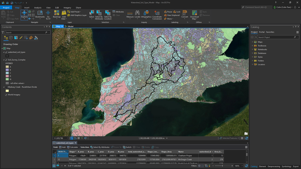
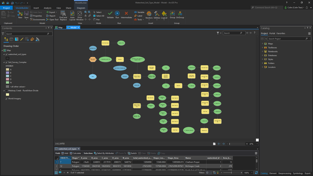
Left: Outline of sub/watersheds with the different soil types underneath. Right: The (messy) model that I used to extract the % area for each soil type. This was my first time using the model builder.
The Future
As mentioned earlier, GIS is applicable in numerous fields and industries, and I realistically could explore different areas in the future. However, with my background in civil engineering and hydrology, and as a member of the Canadian Army Reserve and Royal Canadian Engineers, I wish to utilize the tools and skill sets gained from my time at BCIT to further these efforts.
Today, I am still driven by the same motivations that lead me to pursue civil engineering. In my professional career, I intend to pursue opportunities in civil and water resources engineering where GIS tools can be used to foster sustainability and stewardship of our natural and built environments. I want to enable teams to design projects that complement their surroundings while serving our communities. While I may prefer working on projects involved with floodplain management, my broad education as a civil engineer enables me to work in the wider industry.
In my military career, I will continue to provide geomatics services and assistance when needed to my unit and brigade. Whether it is for practice during exercises or for operational needs during domestic disaster relief deployments, I wish to continue serving with this specialized skill set. I see the value GIS provides, and I am confident that the expertise I have gained at BCIT will provide beneficial capabilities to the Army Reserve.
A Conclusion
As someone at the beginning of their career, I can only confidently speak about GIS in the few domains I have worked and been educated in. My introduction to GIS through my civil engineering education and my service in the Canadian Army Reserve has shown me the great value in this field. Its multi-disciplinary nature has captured my interest and attention, and truly become something I enjoy. The GIS tools I have employed for civil engineering applications, and especially for hydrologic studies, perfectly demonstrates the strengths of geospatial analysis. The ability to aid in emergency management became evident during the pandemic and I witnessed firsthand how GIS can be harnessed for flood relief efforts. My goal as a future professional is to pursue a career in civil engineering related fields while continuing to serve in the Canadian Forces. With the skills and knowledge gained during my time at BCIT, and the important role GIS plays in so many disciplines, I am confident that I can make contributions to both contexts, leveraging GIS to address complex engineering challenges and enhancing our resilience against natural disasters and other emergencies.